At a glance
- Cook's passage took its name from Whit Sunday, and the calendar did not quite line up. The island group inherited the label anyway.
- The Ngaro were a seafaring tribe who inhabited the Whitsunday Islands and coastal country from Cape Conway to the mountains east of Proserpine.[1]
- A turtle soup cannery once worked Hook Island. Today the same island is known for the bays across its top, which offer excellent quality snorkelling with healthy coral.[2]
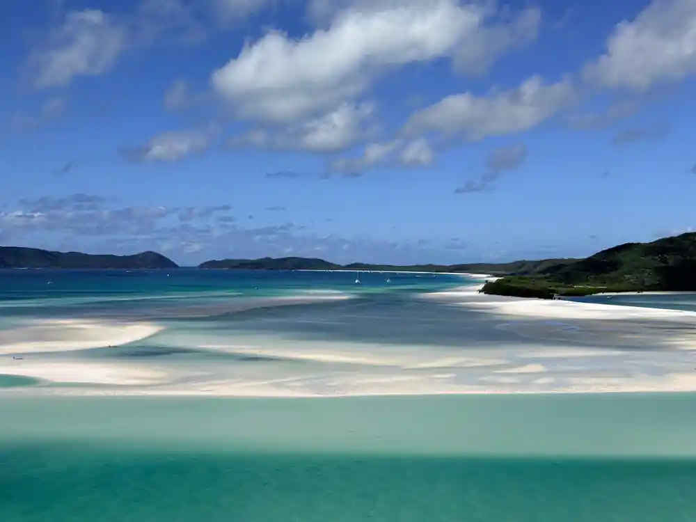
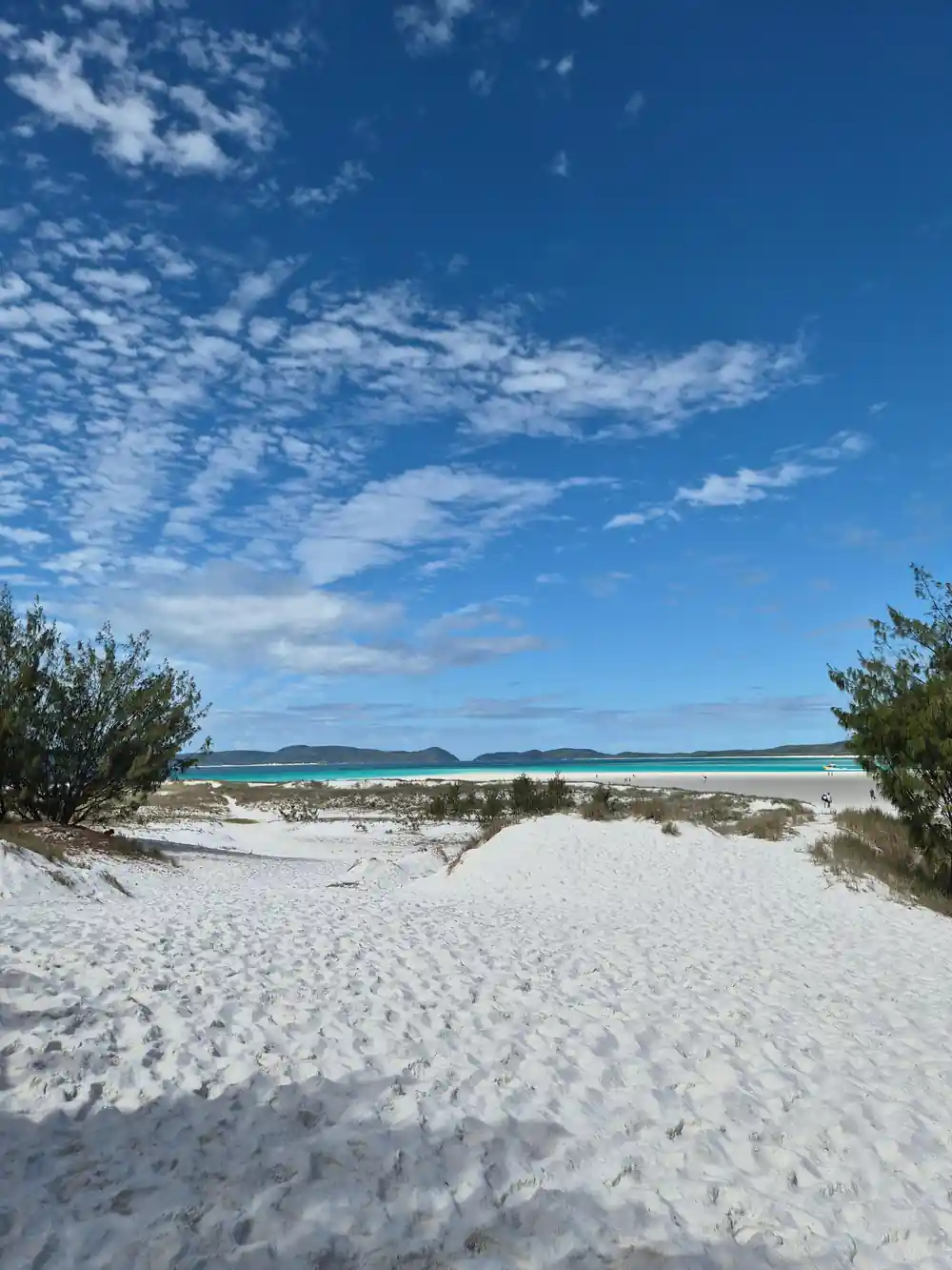
- Whitehaven Beach is a little over four miles long and 98 percent silica sand. Behind it, camp sites sit among lowland vine forest and eucalyptus woodland.[3][4]
- The Hook Island underwater observatory let visitors look out at the reef from below the waterline. It decayed out of use and snorkelling took over.
- Top choice Whitehaven Eco-Cruise from US$175 Duration8 hours[5]Traveller rating4.78 from 3,065 reviews[5]Value for money4.6[5]CancellationCancel up to 24 hours before[5] Check availability
- Half-Day Whitsundays Cruise from US$87 Duration7 hours[6]Traveller rating4.15 from 1,661 reviews[6]Value for money3.8[6]CancellationCancel up to 2 days before[6] See this tour
- Snorkel & Hill Inlet Day from US$174 Duration6.5 hours - 1 day[7]Traveller rating4.84 from 2,331 reviews[7]Value for money4.7[7]CancellationCancel up to 24 hours before[7] See this tour
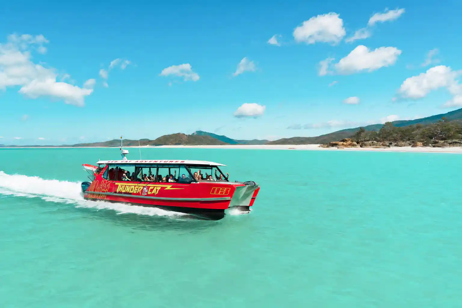
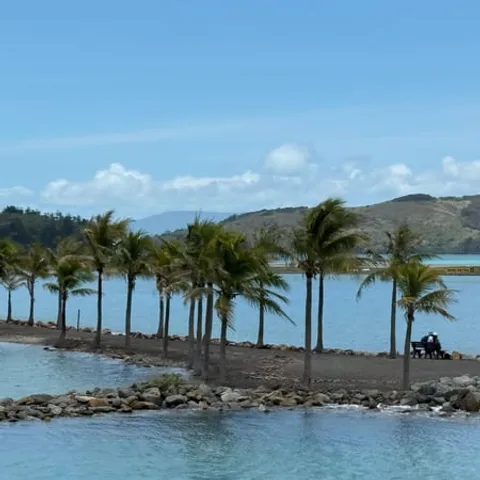
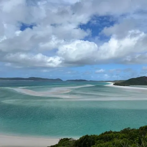
The Ngaro were a seafaring tribe that inhabited the Whitsundays Islands and coastal areas stretching from Cape Conway and down as far as the mountains to the east of Proserpine.
Go for the story, stay for the water
Check before booking
On the day
- The dry season runs June to October, with September named the best month.[8]
- Stinger season in the Whitsundays runs from late October until May.[9]
- Most tours provide protective suits to swim safely during stinger season.[10]
- Six species of whale and four species of dolphin are recorded in the Whitsundays.[11]
Cook's Calendar Error and a Naming That Stuck
Captain Cook's run up this coast left the island group with a name borrowed from the church calendar. He took his ship through the channel between the mainland and the islands, and the name Whitsunday Passage came from Whit Sunday, the feast of Pentecost. The twist in the story is that his reckoning was out. By the calendar he was working from, the feast had already passed, so the passage carries a name from a Sunday that was not actually Whit Sunday at all. It is a small navigational slip that ended up on maps, marina signs and booking pages.
The name did not stay on the water. It spread from the passage to the island group and then to the whole region, and a marina, an airport and an entire tourism industry borrow it today. That drift is worth knowing when you read older accounts of the coast, because a writer may mean the passage, the islands or the mainland shore, and the label shifts underneath you. The spelling carries the feast day inside it as well: Whitsundays, one word, no e in the middle, while the white beach most boats head for is Whitehaven, spelled with one. It is worth getting the two words right when you are asking for directions.
The Whitsunday Passage as a Shipping Route
Long before anyone came here for a holiday, the passage was a road. It runs between the mainland and the island chain, and its deep, sheltered water let sailing ships, then steamers, then working boats move along the coast without taking on the open swell. The Ngaro, the seafaring tribe who inhabited the Whitsunday Islands and the coastal country from Cape Conway down to the mountains east of Proserpine, knew these channels as home water rather than as a route through.[1] When you sail it today, you are following a line that fishing boats, supply vessels and pearling luggers used for generations. Shelter mattered more than distance out here, and the passage offered both.
The sea distances are modest. Whitehaven Beach is approximately 35 km from Airlie Beach by sea, and fast boat tours generally take 60 to 75 minutes depending on the vessel and the conditions.[10] On a busy morning the passage carries yachts, catamarans, dive boats, barges and tour boats all working the same strip of water. The islands take the swell out of the channel. The crossing is usually an easy one, and the water between the islands looks calmer than the open sea beyond. Rough days happen, and the operators know the sheltered line to take.
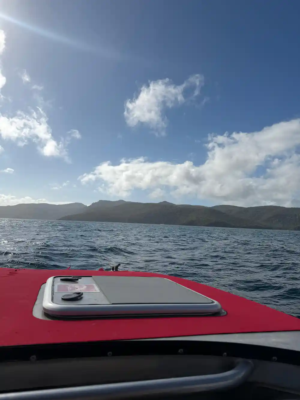
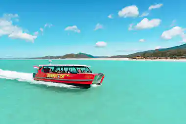
A red boat in the shallows off Whitehaven Beach
Hook Island's Turtle Soup Cannery
Hook Island has the strangest industrial past of the group. A cannery there turned sea turtles into tinned soup, processing animals taken from the surrounding reefs and sending the tins away to mainland tables. It was a short-lived venture, like most of the extraction that happened out here, and it left very little behind on the shore. The trade depended on animals taken from the reef flats and channels around the island. What it did leave is a reminder of how quickly a place can be re-read: an island hunted for its turtles became an island visited for its reef, its coral and its quiet anchorages.
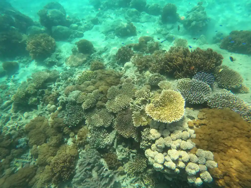
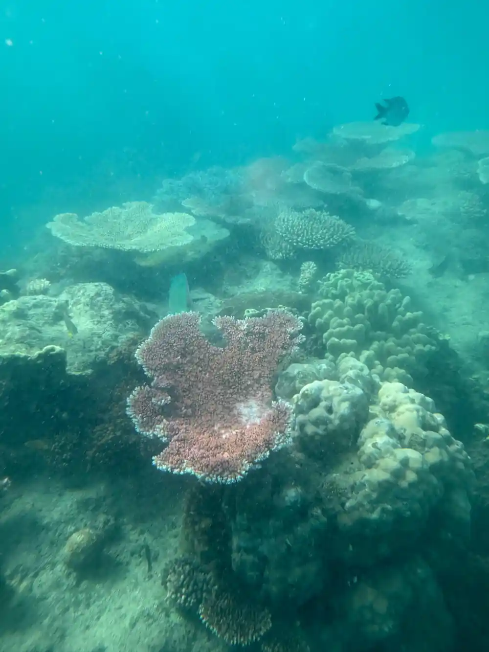
Hook Island is known today for the water rather than the works. Across the top of Hook Island there is a series of bays that all offer excellent quality snorkelling with beautiful healthy coral and diverse marine life.[2] Day boats heading back from Whitehaven often stop in one of them, which means you can walk a silica beach in the morning and float over coral in the afternoon. Hook Island's bays are the easiest place on a day trip to see what the cannery crews were working among. Bring a rash vest if you burn easily, and take the snorkel even if you think you will only swim.
Timber Harvesting and Forest Loss
Timber was the other industry that reached the islands. Teams worked the slopes for hoop pine and other softwoods, cut the logs and got them down to the water for barging to mainland mills. Rainforest that had grown undisturbed for a very long time was opened up in the process, and you can still read the change in the mix of regrowth and older stands on the ridges above the anchorages. Walking a ridge, you pass through forest of different heights and ages rather than one uniform canopy.
The forest came back, and the camping area behind Whitehaven Beach sits among lowland vine forest and eucalyptus woodland behind the beach. Camp sites there are suitable for walk-in camping, and facilities include a hybrid toilet and picnic tables.[4] The contrast is hard to miss: the beach itself is a little over four miles long and 98 percent silica sand, while a few steps inland the ground turns to leaf litter, shade and birdsong.[3] If you want the sand to yourself at sunrise, staying the night is the way to do it.
from US$175
The full-day eco-cruise from Airlie Beach is the tour booked from this site, rated 4.78 from 3,065 reviews.[5]
Wartime Use and Strategic Significance
In the Second World War the passage became working infrastructure again. Ships moving along the Queensland coast used the sheltered anchorages and the deep channel, and the islands were watched from the air and from the water. Stores, moorings and huts appeared in places that had been known to timber crews, fishermen, and the Ngaro before them. Lookout posts and moorings served a coastline that suddenly mattered to more than the people who lived on it.
Very little of that survives on the surface. What you notice instead, anchored in a quiet bay with the radio off, is how naturally these waterways take on whatever job they are given. A shelter for a fleet, a highway for cargo, a playground for day boats: the islands have absorbed all of it without much visible fuss, and the hills still look like hills. Concrete pads and rusting fittings turn up in the scrub on some islands, quietly going back to bush. The names on the chart, from Hook to Whitsunday itself, carry more of the story than anything built there.
The Underwater Observatory and Its Decline
The best-known casualty of the islands' tourism years is the underwater observatory on Hook Island, the structure plenty of people still call the Whitsundays underwater room. It was built into the reef so that visitors could walk down below the waterline and look out through windows at coral and fish without getting wet. For a while it gave people who would never put on a mask a way to see the reef face to face, and it became a stop on the island circuit. It was a piece of engineering built for looking, and for a long time it worked.
It fell out of use, and the structure weathered and decayed into something closer to a wreck than an attraction. The idea outlived the building. Today the bays across the top of Hook Island offer excellent quality snorkelling with beautiful healthy coral and diverse marine life, and a mask and fins get you closer to the fish than any window ever did.[2] Ask around Airlie Beach and you will usually find someone with a story about the old observatory, and what it was like to look out from under the sea.
From Industrial Economy to Modern Charter Sailing
Tourism is the last industry standing, and it is a gentler one than turtles or timber. Airlie Beach is the base, and boats leave from it for the islands, the reef and the quieter anchorages. The full-day eco-cruise from Airlie Beach runs 8 hours, with pickup included and stops that take in a catamaran, Hill Inlet Lookout, Whitehaven Beach and Hook Island before the run home.[5]
The wildlife is a large part of the draw. The Whitsundays has six species of whale and four species of dolphin officially recorded as calling the area home, so a quiet hour on deck is rarely wasted.[11] For timing, the dry season between June and October is described as the best time to visit the Whitsundays, with September singled out as the best month.[8] The eco-cruise listing offers reserve now and pay later, and free cancellation up to 24 hours in advance.[5]
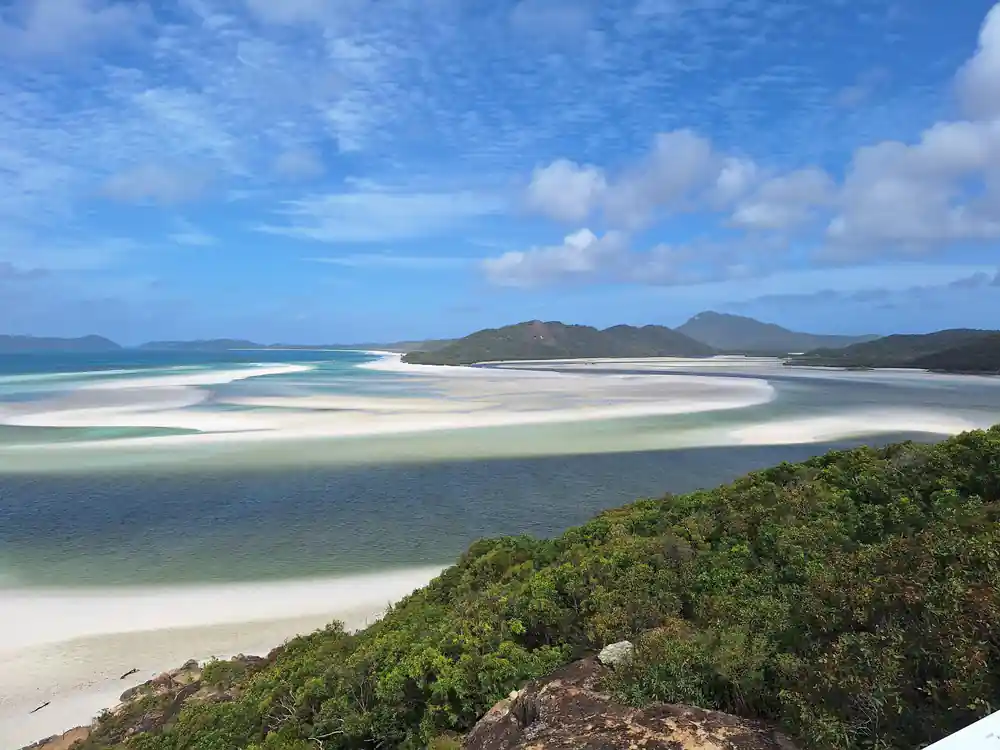
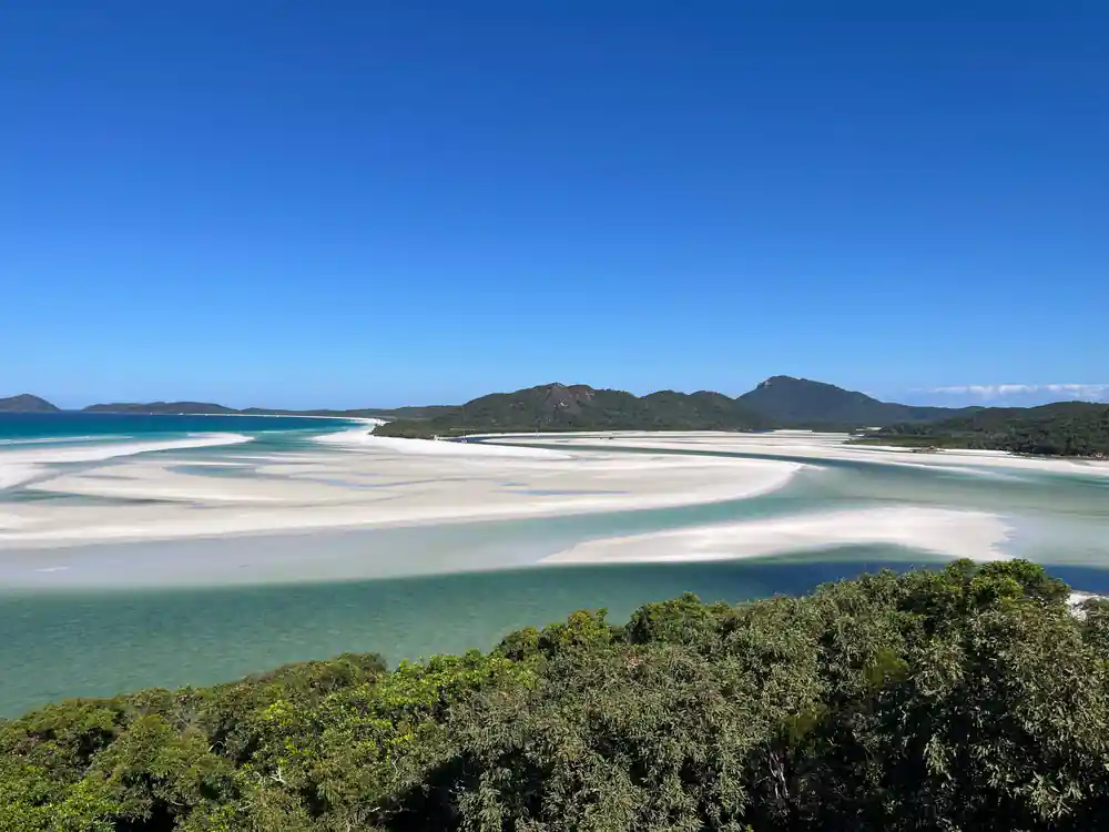
One piece of the modern arrangement is easy to miss. On most commercial tourism operations in the Great Barrier Reef Marine Park, visitors are liable to pay the environmental management charge to the permit holder, who remits it to the Reef Authority.[12] The other thing to put on the list is Hill Inlet Lookout, where the swirling sands and turquoise waters form a natural display that shifts with the tides.[13] It is a small line item and a short walk, and both are worth the time.
Traveller ratings for Whitsundays day tours
From-prices for Whitehaven and Whitsundays day tours
US dollar from-prices as listed.[5][6][7][14]
When to plan your Whitsundays trip
Planning the history trip
Read up on the names
Learn the Whit Sunday story and the spelling first, then the passage, the islands and the beach all make more sense from the deck.
Pick a boat that goes ashore
The full-day eco-cruise stops at Hill Inlet Lookout, Whitehaven Beach and Hook Island, which puts most of the ground in one day.[5]
Walk up to the lookout
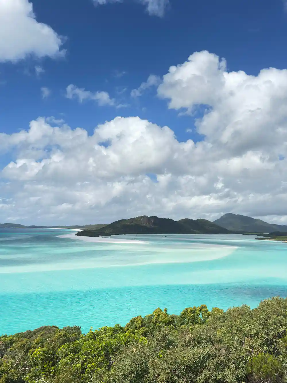
Hill Inlet Lookout is a must-see spot where swirling sands and turquoise waters change with the tides.[13]
Swim, but use a suit
Most tours provide protective suits so you can swim safely during stinger season, and the water at Whitehaven is usually calm, warm and clear.[10]
Stay a night if you like
You can camp overnight at the Whitehaven Beach camping area on Whitsunday Island, where facilities include a hybrid toilet and picnic tables.[4]
Sail the passage whose name came from a wrong Sunday
from US$176Reserve now & pay later